GENERAL INFORMATION
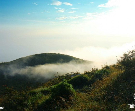
Penanggungan Mountain is a small stratovolcano, located immediately on the north side of Arjuno-Welirang volcanic complex in East Java, Indonesia. Several Hindu-Buddhist sanctuaries, sacred places and monuments are located on the mountain dating from AD 977–1511.
An ancient Javanese text, the Tantu Panggelaran records how in times long past, the holy Mt. Mahameru was transported from India to Java, in order to hold the island in place. During the journey, however, the mountain began to break apart, pieces of it falling to earth to form a chain of volcanic peaks. The base became Mt Semeru, Java’s highest mountain, while the summit, Mt. Pawitra / Mt. Penanggungan, came to rest on the plains to the south of Surabaya.
Rising just 1,653 metres above sea level, Penanggungan is not a high mountain. It is, in fact, dwarfed by the 3,000 metre peaks of the Arjuna/Welirang range which lies not far to the south. Yet, this mountain’s unique shape, as well as its isolation on East Java’s northern plain, makes Penanggungan especially prominent. It has a central, almost perfectly rounded summit, below which lie four minor peaks, more or less symmetrically located in the cardinal directions. Little wonder, then, that the ancient Javanese saw in the form of Mt Penanggungan a reflection of the sacred Mahameru of Hindu mythology.
BEST TIME TO VISIT
Best time to hike Penanggungan is between May until September, because on December until March is a wet season in Indonesia and during the frequent storms and landslides. Especially considering the track is slippery, it will be even more slippery in wet season.
TRACK AND DESTINATIONS
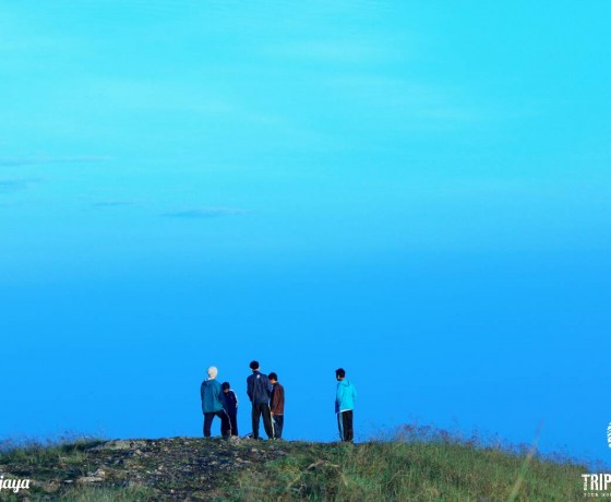
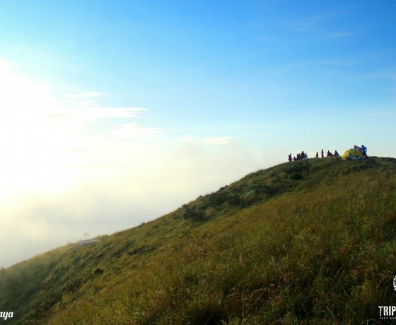
Mount Penanggungan takes about 4 hours hike with flat, sloping, hilly and ravine tracks. At the foot of the mountain, the terrain is sloping state as far as 2 miles. Climbed to the top of the slope ranging from 30-40 degrees. In the belly of the mountain is rather steep, ranging from 40 -50 degrees along 1 miles. Arriving at the chest of the mountain, many abyss with slopes ranging from 50 – 60 degrees; rocky soil along the 2 miles from the chest, neck to the top of the mountain. The terrain is very steep, rocky, slippery and slope ranges from 60 – 80 degrees along the 1.5 miles. Bushy trees causes the air here feels moist, sunlight does not fully penetrate the soil. Reached the top, rocks appeared. Likewise, the state at the summit, only grassroots that can grow to break through the rigors of rock padas Mount Penanggungan. At the peak there is a valley, perhaps a kind of a crater that is no longer active, 4 hectares wide. This place is usually used for the base camp. A comfortable place to enjoy the beauty at night.
Many of Mt. Penanggungan’s more accessible sites can be found on the slopes of the minor peaks of Bekel and Gajah Mungkur. Intending visitors have the choice of starting or ending track from. If you choose from the western side, at Jolotundo, a full day climbing can cover about half a dozen interesting locations, set in the midst of a wild, mountain landscape. And you’ll meet many archaeological sites from Airlangga and Majapahit Kingdom. Jolotundo have a pool too, relic pool from Airlangga Kingdom where the water never dries. Officials said that according to the story, the water source of bathwater in Jolotundo is the 2nd clearest in the world. Based from the data of researchers from Japan who are conducting research on archaeological sites here.
TEMPERATURE
At night, the temperature range of about 10-15 degrees, while during the day it ranges about 15-25 degrees. Sun can strikes real hot at the top because of minimum shades.
CONDITION
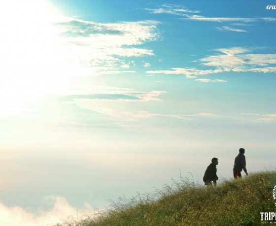
There’s no toilet and stalls in Penanggungan. We’ll bring our breakfast with hot drinks and instant noodles or bread, then have it while enjoying the sunrise. Let’s have a simple picnic!
ATTENTION REQUIRED
Positive attitude for sure
Mountain gears (backpack, trekking shoes, raincoat, warm jacket, headlamp, etc)
Camera and all of the gears (you’ll be amaze with the landscape)
Snacks, mineral water, personal medicine
Wet and dry tissues.
Start climb around 12.00 am to reach the mount’s peak before sunrise
Down the mountain before 08.00 am to avoid sunburn
Watch your step because the track is slippery with many rocks
Careful with Hypotermia and Hypoxia
Use daypack (small bag ±30 liter) for your snack, water and camera
No water supplies
Consider using extra protection for your electronic gadget
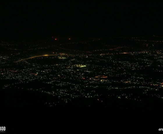
Let’s escape for a while from your busy activity to enjoy fresh air, exotic landscape, and beautiful citylights!
Join our package of Penanggungan Mountain
Mt. Penanggungan-Kakek Bodo Waterfall
or create your own dream package!

